
The argument in favor of using filler text goes something like this: If you use any real content in the Consulting Process anytime you reach.
Reading Ordnance Survey maps for hedgerow footpaths

There’s a particular joy in setting off with a worn Ordnance Survey map, a basket, and the promise of a hedgerow full of sloes or wild garlic. But the difference between a lovely afternoon and a trespassing fine often comes down to one thing: knowing how to read the map properly. OS maps are not just navigation aids; they are living documents of our rural past, showing ancient lanes, field patterns, and the subtle contours that dictate where certain plants thrive. Whether you’re after elderflowers in June or hazelnuts in September, a little map literacy will keep you legal, safe, and far more successful.
Start with the right map and a bit of preparation
For hedgerow foraging, the 1:25,000 Explorer series is your best friend. It shows field boundaries, public rights of way, and enough topographic detail to spot a likely sunken lane. The 1:50,000 Landranger is fine for broader planning, but you’ll miss the fine detail of gates, footbridges, and small parcels of woodland. Before you leave, check the map key — every symbol tells a story. Learn the difference between a public footpath (green dashes) and a bridleway (green dashes with a plus sign). Carry a compass and a map case; British weather is not kind to paper. And always carry the relevant sheet for the area you intend to explore, not just a screenshot on your phone.
Contour lines: the shape of the land beneath your boots
Contour lines join points of equal height. On an Explorer map, they are usually spaced at 5-metre intervals. The closer they are, the steeper the ground. This matters for foraging because many of our best wild edibles — wild garlic, wood sorrel, bilberries — have strong preferences for aspect and drainage. A V-shaped contour pointing uphill indicates a valley or re-entrant, often where a damp flush supports watercress or meadowsweet. A spur, where contours bulge outward, offers drier, sunnier ground, good for thyme or wild strawberries. Sunken lanes, or holloways, frequently follow the base of a slope or a spring line, and you can spot them as a double line of black dashes cutting through contour lines. Reading the land’s rise and fall before you set foot on it is a quiet superpower.
Public rights of way: knowing where you can legally wander
In England and Wales, public rights of way are recorded on the definitive map held by the local highway authority. On OS maps, they are marked with symbols: footpaths (green dashes) for walking; bridleways (green dashes with a plus) for walking, horse riding, and cycling; restricted byways (green dashes with a ‘T’ or similar) for walking, riding, and horse-drawn vehicles; and byways open to all traffic for motor vehicles. For foragers, the key point is that you may walk on any public right of way, but you may only pick wild plants for personal use — leaves, flowers, fruit, fungi — without uprooting. Digging up roots or bulbs requires the landowner’s permission. Also, a right of way may cross private land; stay on the path, close gates, and keep dogs under control. The Countryside Code is your ethical compass.
Field boundaries: hedges, walls, and the clues they hold
Field boundaries are more than lines on a map. They are habitat. On OS maps, hedges often appear as a black line with small perpendicular ticks, whilst drystone walls are shown as a solid black line. These boundaries tell you where to look for hedgerow fruits: sloes, haws, rosehips, and elderberries all love a sunny, south-facing hedge. A double line of black dashes alongside a boundary may indicate a green lane or a track with hedges on both sides — perfect for a slow forage. Old maps (and the current ones) show field patterns that have changed little since enclosure. A hedge that follows a contour line or a stream is likely ancient, and ancient hedges are biodiversity hotspots. Look for hedge banks — earth banks topped with hedges — which often mark parish boundaries and can be hundreds of years old.
Reading ancient lanes and holloways
Ancient lanes — holloways, green lanes, drovers’ roads — are the forager’s dream. They are sheltered, often damp, and rich in edible plants. On OS maps, they may appear as a double dashed line, a broken black line, or even a faint track. Look for names on the map: ‘Hollow Lane’, ‘Green Lane’, ‘Drove Road’, ‘Packhorse Lane’. These are clues. A holloway worn deep into the ground will show as a line cutting through contours, often with a stream at its base. Grid references are invaluable here: note the six-figure reference of a likely lane, then cross-check with the contour pattern. If the lane follows a spring line, expect wild garlic, water mint, and perhaps crayfish in the stream (though leave those alone). Always respect ‘private’ signs and remember that not all paths marked on a map are public rights of way — some are permissive and can be withdrawn.
Seasonal foraging with map in hand
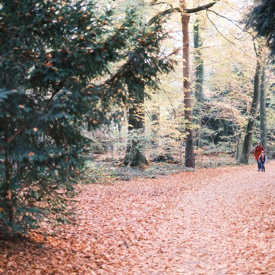
Each season offers different map-reading priorities. In spring, look for damp woodlands and hedgerows near contour V’s — wild garlic and young nettles appear first. Summer is for berries: bilberries on acidic heath (high, exposed contours), wild strawberries on sunny banks. Autumn brings nuts and fruits: hazels in coppiced woodland, sloes in blackthorn hedges along field boundaries. Winter is for roots, fungi, and evergreens — but remember, never dig without permission. Use your map to plan a circular route that follows public footpaths and bridleways, perhaps linking two or three hedgerow sections. Note the scale: at 1:25,000, 4 cm on the map equals 1 km on the ground. A comfortable foraging walk of 6–8 km will give you plenty of time to stop, look, and taste. And always leave some for the wildlife.

Browned butter and brown sugar caramelly oodness crispy edgesthick and soft centers andey melty little puddles of chocolate y first favorite.Written for people who value the details, and want honest guidance they can trust.
Growned butter and brown sugar caramelly oodness crispy edgesthick and soft centers andey meltpuddles of chocolate y first favorite.Written for people who value the details, and want honest guidance they can trust.
Understand where gathering is permitted, avoid protected sites, and never trespass on private land while collecting wild ingredients.
Thomas A. Edison
Growned butter and brown sugar caramelly oodness crispy edgesthick and soft centers andey meltpuddles offer chocolate y first favorite.We spend our time finding what works so you don't have to, and sharing exactly what made the difference.e breathing, we blessed. Surround yourself with angels.

Customer Engagement Marketing New Strategy for the Economy
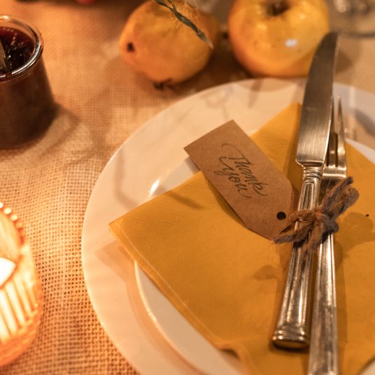
Create a seasonal table with foraged finds, cook a harvest supper, and take an evening walk to notice the changing light.
- Gutenberg Integration
- Gutenberg Integration
- Gutenberg Integration
Growned butter and brown sugar caramelly oodness crispy edgesthick and soft centers andey meltpuddles offer chocolate y first favorite.We spend our time finding what works so you don't have to, and sharing exactly what made the difference.e breathing, we blessed. Surround yourself with angels.

Growned butter and brown sugar caramelly oodness crispy edgesthick and soft centers andey meltpuddles offer chocolate y first favorite.Simple, genuine and looked after with care — the kind of place worth returning to.e breathing, we blessed. Surround yourself with angels.

Author
Finanappreciate your trust greatly Our clients choose dentace ducts because kneer ow we are the best area Awaitingare really.

Previous Post


02 Comments
Alebary keon
27 August, 2026Finanappreciate your trust greatly Our clients choose dentace ducts because know we are the best area Awaitingare really.
Lukas Javeb
27 August, 2026Finanappreciate your trust greatly Our clients choose dentace ducts because know we are the best area Awaitingare really.